Strong Thunderstorm Brings 50-MPH Wind Threat and Downed Tree to Coastal Volusia
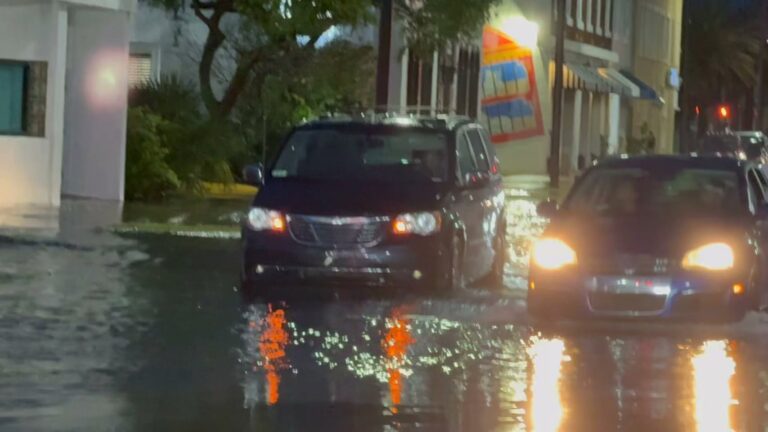
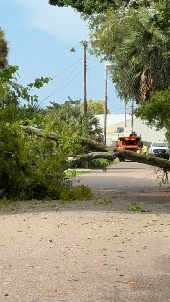
DAYTONA BEACH/PORT ORANGE, Fla. — A strong thunderstorm crossed east-central Volusia County on July 26, bringing a damaging-wind threat as CFL Report video documented a large tree down across a residential street.
At 2:32 p.m., National Weather Service radar tracked the storm over Port Orange as it moved east at approximately 20 mph. A special weather statement remained in effect until 3 p.m.
Forecasters warned that wind gusts could reach 50 mph, which could knock down tree limbs and blow around unsecured objects. Daytona Beach, Port Orange, South Daytona, New Smyrna Beach and Edgewater were among the locations in the storm’s path. The statement did not identify a hail threat.
The Weather Service advised people in the affected area to seek shelter inside a sturdy building while the storm passed.
Strong storms came through Daytona and port orange, did you have any damage?
Original CFL Report Facebook caption
Watch the CFL Report video
This video is hosted by Facebook. Loading it may allow Meta to receive device, cookie or account information. Open the original video on Facebook.
CFL Report posted the 31-second video at 5:23 p.m. It shows a tree blocking a roadway while a crew works nearby. The exact street and city shown in the footage have not been independently confirmed.
The Weather Service statement and the initial CFL Report post did not report injuries, utility outages or a countywide damage total.
The term “special weather statement” describes the level of the weather product issued that afternoon. National Weather Service guidance says those statements may cover strong thunderstorms with winds from 40 to 57 mph, while the baseline for a severe-thunderstorm warning is generally wind of at least 58 mph or hail at least one inch across. The 50-mph hazard listed July 26 fell within that sub-severe range, although the tree shown in CFL Report footage illustrates that localized impacts can still be disruptive.
During future storms, the Weather Service advises people to move into a sturdy building, stay away from windows and avoid sheltering beneath trees. If a vehicle is the only available shelter, it should be positioned away from trees and power lines when possible. Lightning guidance recommends remaining in safe shelter for at least 30 minutes after the last sound of thunder.
The National Weather Service’s Melbourne office asks residents to promptly report witnessed wind damage, including downed trees or power poles, with the location and time of occurrence. Volusia County Emergency Management also directs residents to NWS Melbourne for current hazards and offers AlertVolusia for local emergency notifications.
Sources: Archived National Weather Service special weather statement, National Weather Service guidance on weather products, thunderstorm safety, lightning safety and storm reports, Volusia County Emergency Management and the original CFL Report video.